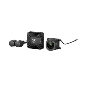
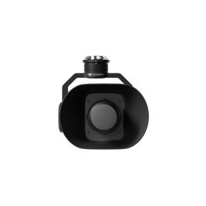
High-Precision Aerial LiDAR System Zenmuse L2
Zenmuse L2 integrates frame LiDAR, a self-developed high-accuracy IMU system, and a 4/3 CMOS RGB mapping camera, providing DJI flight platforms with more precise, efficient, and reliable geospatial data acquisition. When used with DJI Terra, it delivers a turnkey solution for 3D data collection and high-accuracy post-processing.
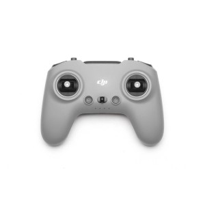
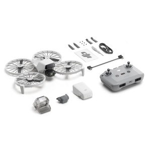
Neo Motion Fly More Combo | Quadcopter | Black/White | Drone class C0 | Number of rotors 4 rotors | Maximum operating distance 7000 m | Maximum flight altitude 2000 m | Maximum flight time 18 min | Megapixel (approx.) 12 MP | Internal memory 22 GB | Batteries included Yes
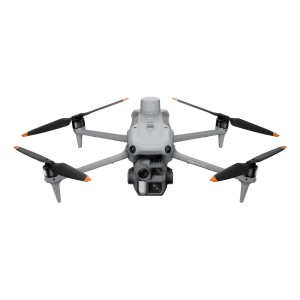
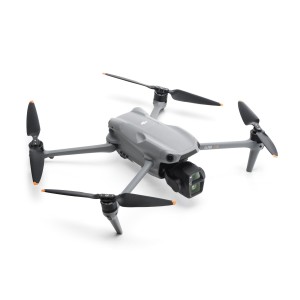
Matrice 4E | Quadcopter | Grey | Foldable Yes | Number of rotors 4 rotors | Maximum speed 21 m/s | Maximum flight altitude 6000 m | Maximum flight time 49 min | Obstacle sensing system Yes | Megapixel (approx.) 20 MP | Sensor type CMOS | Memory card slot(s) Yes | Moving control functions Backward/Downward/Forward/Upward | Weight 1219 g | Takeoff weight...
DJI Flip (RC-N3) | Quadcopter | Black/White | Foldable Yes | Number of rotors 4 rotors | Maximum speed 16 m/s | Maximum flight altitude 3000 m | Maximum operating distance 14000 m | Maximum flight time 31 min | Megapixel (approx.) 48 MP | Internal memory 2 GB | Memory card slot(s) Yes | Weight 249 g | Batteries included Yes | Charger Yes
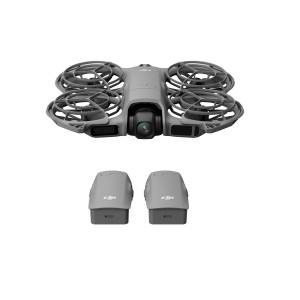
Neo 2 Fly More Combo (DRONE ONLY) | Quadcopter | Black/Grey | Number of rotors 4 rotors | Maximum operating distance 7000 m | Maximum flight altitude 2000 m | Maximum flight time 19 min | Megapixel (approx.) 12 MP | Internal memory 49 GB | Weight 151 g | Batteries included Yes